Second Accumulating Snowfall Of December
This year’s fall season was very mild for the most part, but models had been showing a shift in the weather pattern, bringing more arctic air down this way. That has happened. Our first snowfall was flurries with maybe a dusting a couple of weeks ago. After that, accumulating, we had one with a couple of inches accumulating, but that storm was more of a mixed bag that changed to ice and rain. That day the temperature never made it to the forecasted high, so the snow didn’t really melt. It was nice to see the early accumulating snow.
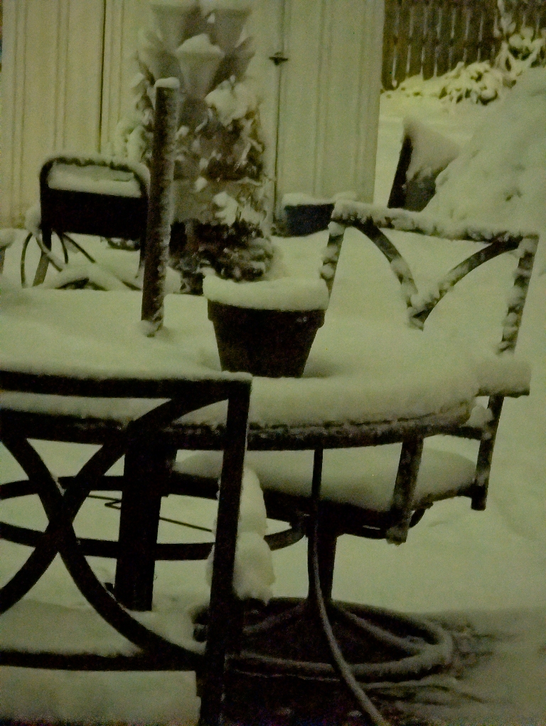
This time the snow stayed as snow overnight. The temperature stayed below freezing, and we wound up with a couple of inches of accumulated snow.
This picture is now a great one because it used the night mode on my phone, but still it was okay.
Second Accumulating Snow Of December

I would like to think that this is a good start to a good winter, but deep down inside I know that there usually are not that many opportunities for snow around here. That pattern will probably flip back in time for the coldest part of the winter. The most likely scenario is that this winter is blowing its load early. I guess we will see what the future holds.
It was a fairly wet snowfall. It would be the perfect type of snow for a nice day out in the woods. It would be stuck to all the trees and just look amazing. It is on days like this that I wish we still had that large silver maple tree to see it on the thick branches, but that tree was on its way out.